How Drones Help Farmers Assess Freeze Damage Quickly and Accurately
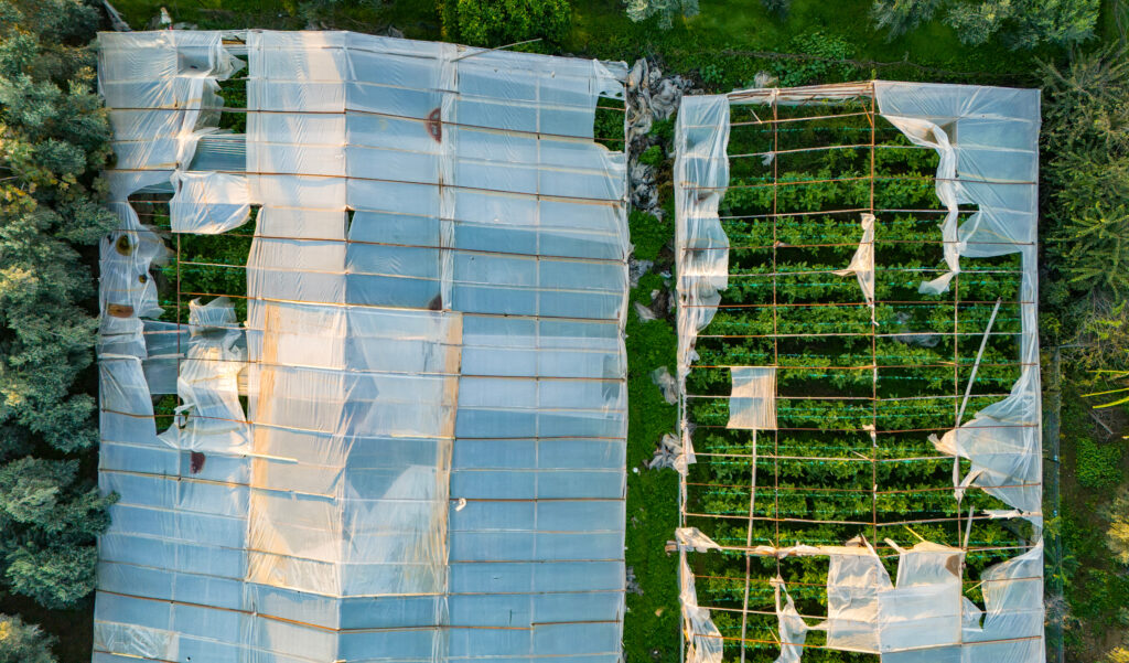
A hard freeze can undo weeks—or months—of work in a single night. For farmers and growers, the challenge isn’t just the damage itself, but understanding where it occurred, how severe it is, and what to do next. This is where drone-based crop assessment becomes a powerful tool. Why Freeze Damage Is Hard to Assess from […]
Missing Person Search Patterns
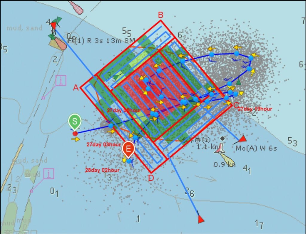
Grid, Sector, and “Last Known Point” Workflows When time matters, structure saves lives. Modern search-and-rescue operations rely on proven search patterns that balance speed, coverage, and probability. Commercial drones add a critical advantage by delivering rapid aerial visibility, repeatable flight paths, and precise documentation—especially in terrain that is difficult or dangerous for ground teams. Below […]